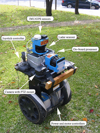
We are developing technologies for autonomous mapping and exploration in urban environments, using a Segway RMP with scanning laser range-finders mounted in the vertical and horizontal planes.
Some early results can be found below.
|
We are developing technologies for autonomous mapping and exploration in urban environments, using a Segway RMP with scanning laser range-finders mounted in the vertical and horizontal planes. Some early results can be found below. |

|
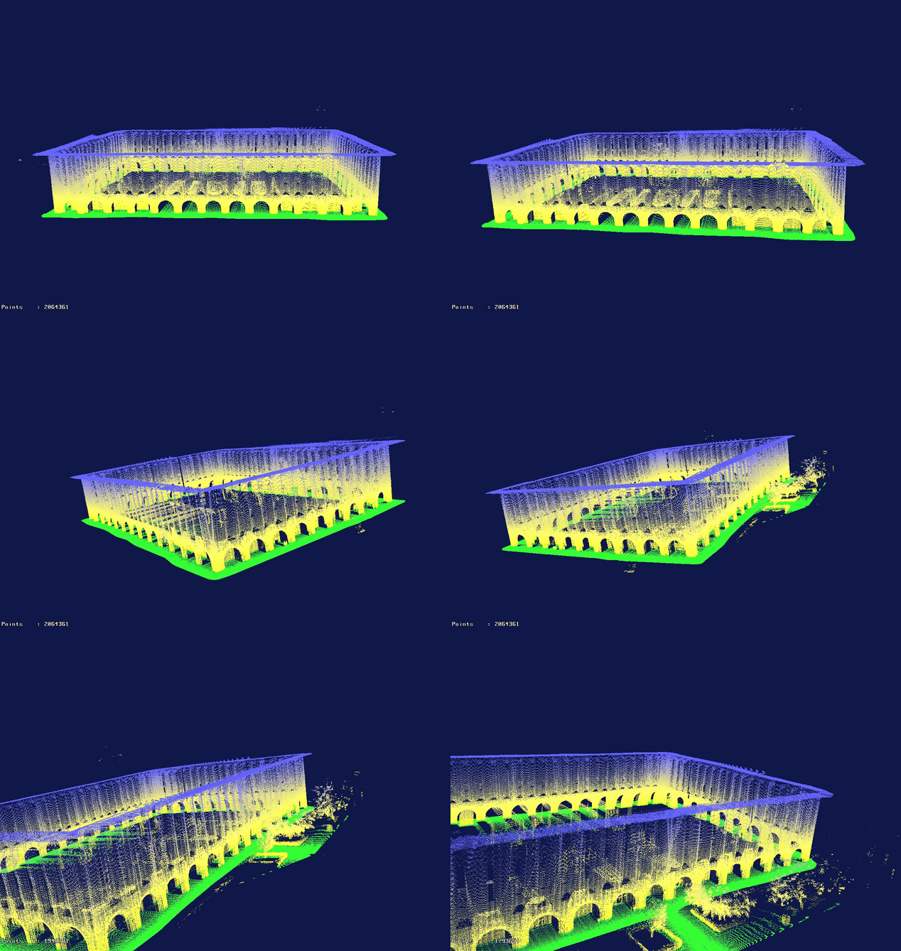
Map of the Gerentology building. For those with a VRML viewer, download the interactive model from here (beware: it's big, and may crash your browser). |
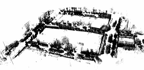
Map of the USC University Park Campus. |
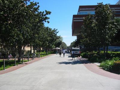
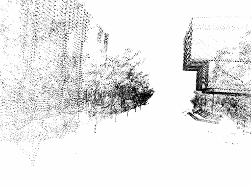
Map detail from the USC University Park Campus, note the row of trees (left) and the steps leading up to the USC Bookstore (right); the ground plane has been deleted from this image. |
This work is sponsored in part by DARPA grants DABT63-99-1-0015 and 5-39509-A (via UPenn) under the Mobile Autonomous Robot Software (MARS) program.